MEC Research
Online Publications
This is where you will find publications not directly related to MEC's current and past research, written by our research associates and others who have submitted their work to MEC for publication.
Palenque Mapping Project
The data gathered during the project has to date resulted in the creation of what has been described as the most accurate and detailed map of maya ruins ever made.
Lectures
For academic institutions and organizations. MEC lectures on ancient culture and archaeology for campus event centers and unions offers a variety of public academic presentations for university and college campuses.
Book a lectureSupport The Maya Exploration Center
Donate
Please contribute to the Maya Exploration Center today. Help us continue to uncover the mysteries of the ancient Maya and increase awareness of North America's most sophisticated ancient civilization, the Maya.
DonateBECOME A MEMBER
Join the Maya Exploration Center Membership Program and become an active participant in recovering ancient knowledge. We invite our members to actively participate in the process of discovery.
Become a memberDr. Ed TV appearances
Maya to Aztec: Ancient Mesoamerica Revealed
Five hundred years ago, Spanish conquistadors searching for gold and new lands to settle stumbled on a group of independent city-states in Mesoamerica, a region extending for more than a thousand miles from the desert of northern Mexico to the rain forest of Central America.
Watch on Wondrium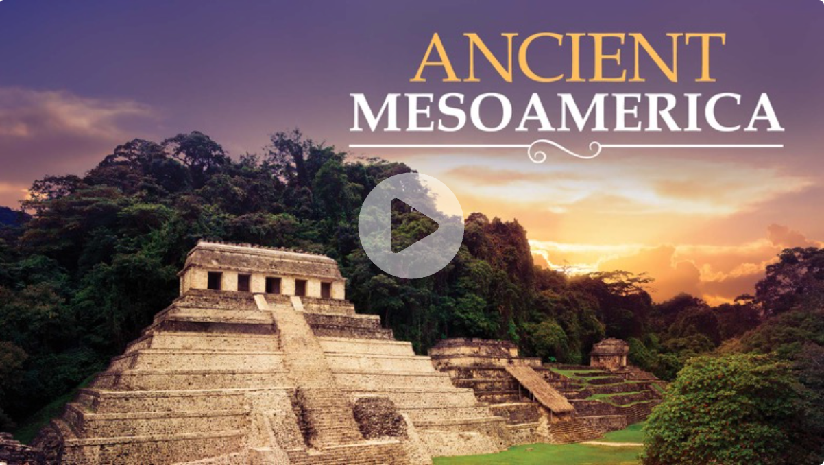
MEC recommends